AIAS Fellows' Seminar: Cici Alexander, AIAS Fellow
The Third Dimension: From Point Cloud to Carbon and Connectivity
Info about event
Time
Location
The AIAS Auditorium, Building 1632, Høegh-Guldbergs Gade 6B, 8000 Aarhus C
Organizer
Abstract
Point clouds generated from Airborne Laser Scanning (ALS), using the technique of LiDAR, can be used to describe the three-dimensional (3D) structure of terrestrial features. Attributes extracted from LiDAR point clouds are used for estimating above-ground biomass to quantify carbon stock. 2D measures of landscape connectivity has limitations in estimating the fragmentation of habitats. This seminar will present a few advantages of adding the third dimension to geospatial analysis, with emphasis on ecological applications in Denmark.
Short bio
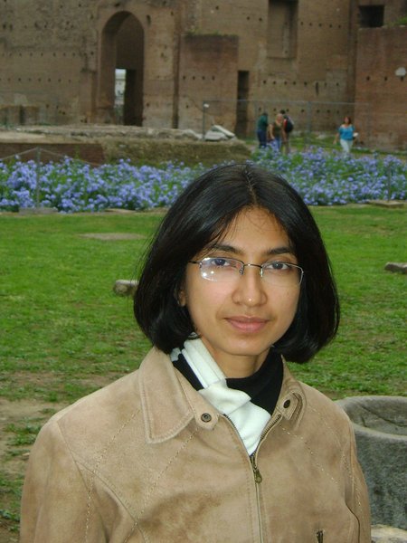
Cici Alexander is an AIAS-COFUND Junior Fellow, and received her PhD in Geographic Information Systems (GIS) and Remote Sensing from the University of Leicester, UK. She is an inter-disciplinary researcher with a background in Architecture and Environmental Planning. Her main research interest is in 3D Remote Sensing, especially using data from Airborne Laser Scanners, to understand and address environmental challenges.
Cici Alexander's project at AIAS
What is a Fellows' Seminar?
The AIAS Fellows' Seminar is a session of seminars held by the AIAS fellow or by other speakers proposed by the fellows. In each seminar, one fellow will present and discuss his/her current research and research project, closing off with a question and discussion session.
All seminars are held in English and open to the public. Registration to the seminar is not necessary. Read more about the AIAS Fellows' Seminar here.